
Master Plan
A Township Planned Around Life.
A thoughtfully planned township shaped around movement, open spaces and everyday living.
Master Plan
Explore the Master Plan
Discover the planning vision behind Braj Vrindaan. Detailed township and sector plans are available on request.
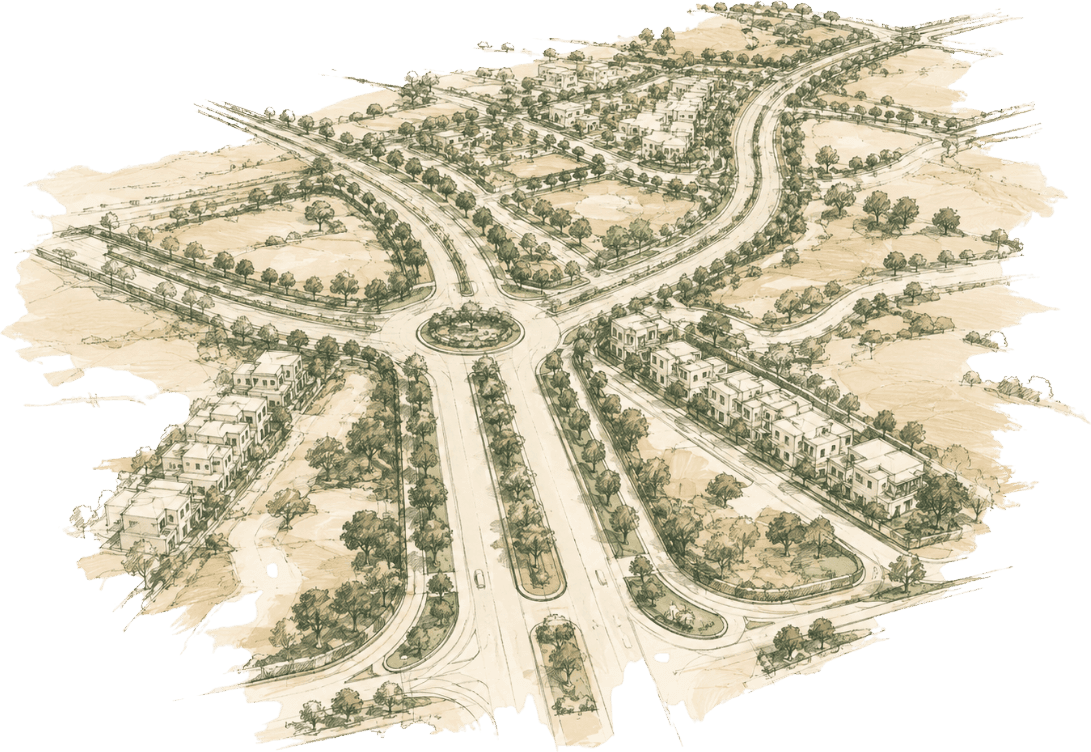
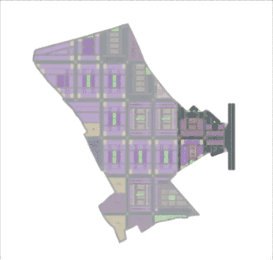 Indicative representation. Not to scale.*
Sectors
01
Sector 01
A mixed-size residential sector arranged around four parks, with shopping arcades held at the sector edge.
02
Sector 02
The widest size range in the released phase, from compact plots through to half-acre-scale parcels, with utility and arcade provision built in.
03
Sector 03
The large-format sector. Its widest parcels front the primary road, with smaller plots behind them.
04
Sector 04
The largest released sector by plot count, planned on a nine-metre street grid with parks distributed through every cluster.
Released
Sector layout as issued in the August 2026 FINAL set.
Not Released
Shown in the August 2026 layouts. Inventory not yet open.
Proposed
Indicated in the current planning layout and subject to applicable approvals.
Infrastructure
Planned beneath the surface.
Most of what makes a township work is buried before a single boundary wall goes up. The order it goes in — services first, then surfaces — is what separates a planned development from a field with plots marked on it.
100 ft
100 ft Primary Roads
The main spine, running the depth of the site from the entrance. Dual carriageway with a planted central median, kerbed footpaths either side.
9.0 m
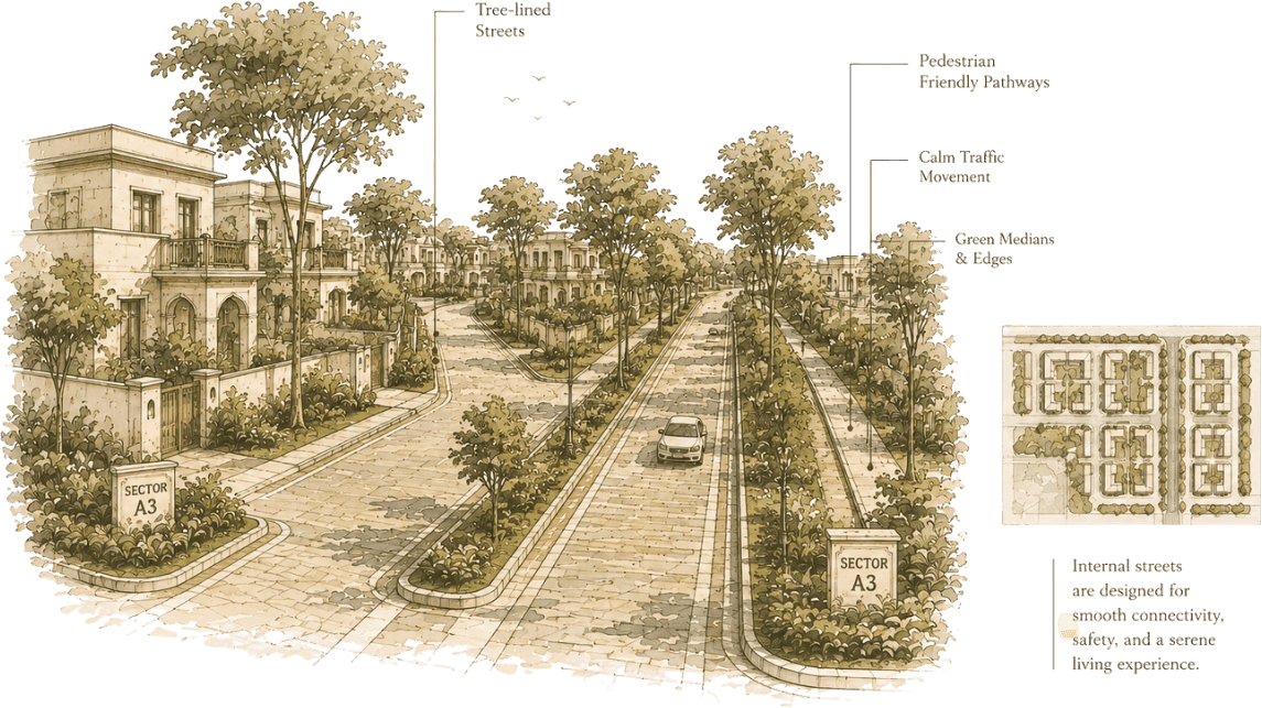
9 m Internal Streets
Sector distributors. They carry traffic between sectors and hold the shopping arcade frontages.
9.0 m
9.0 m Peripheral Roads
Runs around each sector, labelled on the August 2026 layouts.
Buried
Water Infrastructure
Water mains laid beneath the carriageway before it is surfaced, with service connections branching to each plot.
Gravity fed
Drainage and Sewage
Underground sewage and storm drainage laid to fall, with manhole access at junctions. Completed as a defined development milestone.
Underground
Electrical Infrastructure
Electrical grid run below ground rather than overhead, with street lighting along the road hierarchy.
Distributed
Landscape Network
Parks set inside the residential clusters rather than gathered at the edge, linked by planted verges along the streets.
Sequencing and specifications are indicated in the architect's Plotting Layout, Revision R2, dated 14 August 2026, and in the development-linked payment schedule. Final delivery is subject to applicable approvals.
Land Use
What sits between the homes.
- 2.83 acres
- Commercial Plaza & Club House
- 2.99 acres
- Star Hotel
- 1.82 acres
- School
- 2.04 acres
- Nidhi-Van
- 4.26 acres
- Group Housing
- 0.40 acres
- Front Commercial — Block A
- 0.45 acres
- Front Commercial — Block B
Proposed
Proposed
Proposed
Named for Nidhivan, the grove in the old town.
Proposed
Master plan reproduced from the architect's revised Plotting Layout with sector-wise area details, Revision R3, drawing DB/MP/197/MY/05. Sector layouts reproduced from the FINAL set dated 10 and 14 August 2026. Areas are approximate. All layouts, plot dimensions and land use are subject to change and to applicable approvals.